Desconto de 10% na primeira encomenda. Use o código: LOJAUP10. Portes grátis, para Portugal, a partir de 50€


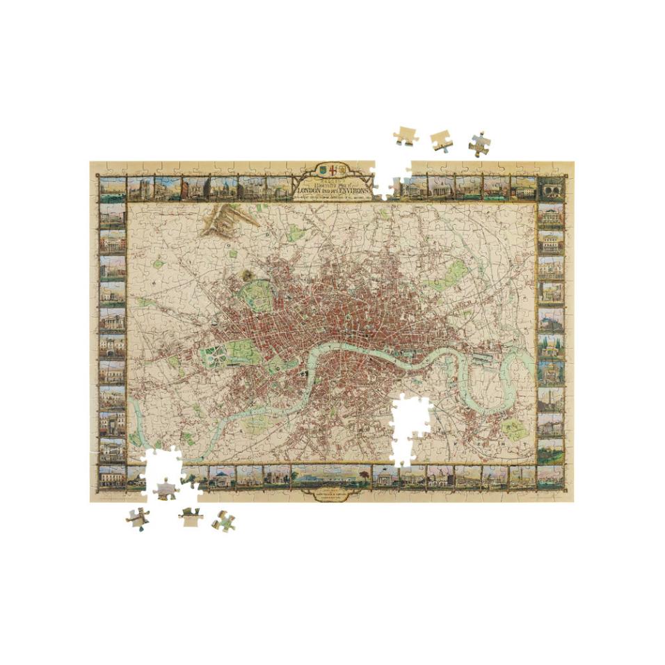


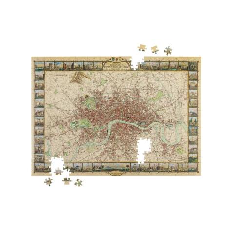
John Tallis’s Illustrated Plan of London and its Environs stands as an exquisite and very detailed map, showcasing the magnificence of the United Kingdom’s capital. Crafted by the skilled hands of John Rapkin and brought to life through the renowned English cartographic publisher John Tallis, this map is a testament to precision and elegance.
Encompassing the heart of London are 48 city views, each extending from Hammersmith in the west to the landscapes of Cricklewood, Hampstead, Stamford Hill, Leytonstone, Greenwich, Peckham, Battersea Rise, and Parson’s Green, creating a visual symphony of urban charm. The myriad of colors serves as a vivid palette, delineating borough boundaries, roads, streets, city blocks, buildings, landmarks, parks, and various places of interest.
This map celebrates London’s grandeur. Commissioned to mark the Great Exhibition of Industry of All Nations in 1851, hosted in the verdant Hyde Park and orchestrated by the visionary minds of Henry Cole and Prince Albert, consort to Queen Victoria. The opening day witnessed a gathering of over 2500 of the global elite, elevating it to one of the most pivotal events of the XIX Century.
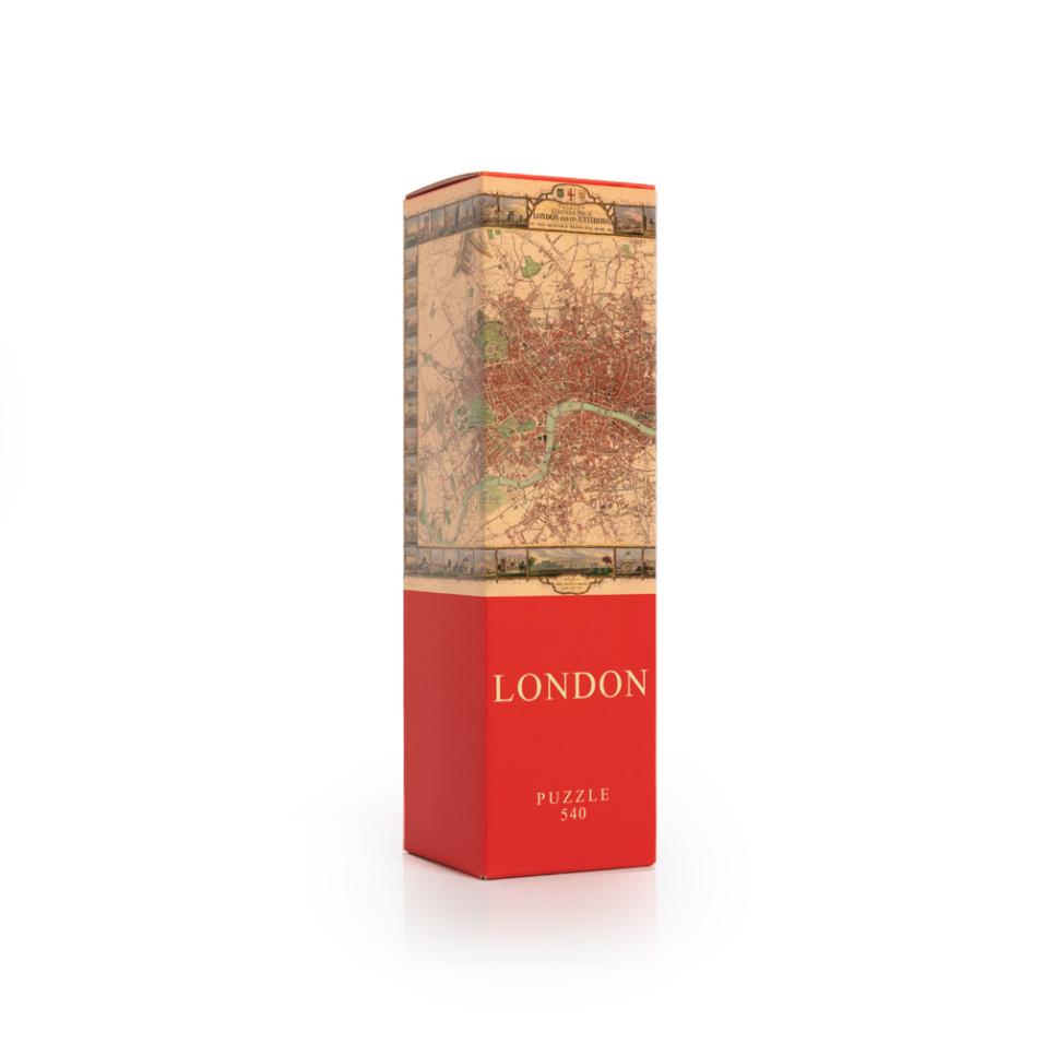
Número de peças: 540
Dimensões: 35 x 50 cm
Dimensões da caixa: 8 x 8 x 28cm